| Location
Black Cat Mountain is in south central Oklahoma, almost directly north of Dallas, Texas. It is in the south west corner of Coal County, Oklahoma, two miles west of Clarita. This corner of the county is a geographic junction of three major features in Oklahoma: the eastern margin of the Arbuckle Mountains, the Eastern Sandstone Cuesta Plains and the McAlester Marginal Hills Belt. The Oklahoma Historical Society has prepared a nice summary of the county history. A photographic sketch of Clarita's history has been compiled by its residents and is available through their website claritaoklahoma.com.
Below is a location figure I prepared for a publication on Haragan glass sponges with Professor Keith Rigby of Brigham Young University. Black Cat Mountain is in the south east corner of the area marked by this map. The Hunton townsite, about 1100 yards (1 kilometer) to the west, corresponds to the area just outside of the map on the west side of the bluff shown along the left margin. Driving from Clarita on Burr Valley Road, you will not notice crossing over the boundary line between the Chickasaw and Choctaw nations, which runs perpendicular to the road.
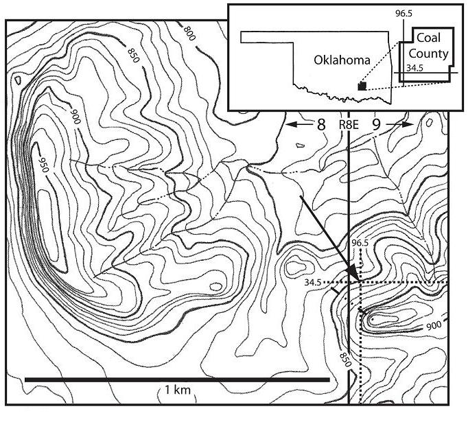
Alternatively, the viewer can find the location on Google Earth or click the following link to an aerial view of Black Cat Mountain: Google Maps.
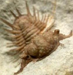
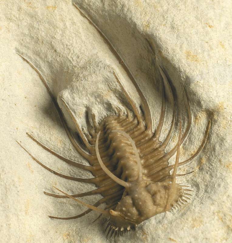
Ceratonurus species (Photograph courtesy of Steve Marley).
|